Distance: 10 kilometres return
Duration: 2.5 hours return
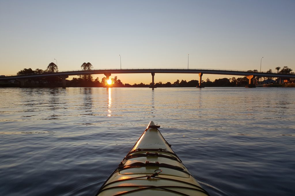
Best time to launch: 1 hour before high tide at Richmond River – Woodburn Boat Ramp.
Start/finish: Woodburn Boat Ramp, Bank Street, North Woodburn – GPS: 29°04’10.0″S 153°20’34.3″E.
Parking: On grass beside the road.
Toilets: Riverview Park, River Street, Woodburn. Riverview Park has a beach where you can land if you need to use the facilities after you launch.
Route:
Woodburn was initially called Rocky Mouth by early European settlers because of navigation hazards that existed outside the mouth of the creek which ran into the Richmond River at the same place. It was later discovered there was another Rocky Mouth in NSW so the settlement could not keep the name but it lives on in the creek from which it was derived. To reach Rocky Mouth Creek from Woodburn Boat Ramp, paddle across the Richmond River and then go to the right. Its mouth will soon be on your left. Approximately 2 kilometres up the creek, the Pacific Highway and Tuckombil Canal weir appear on the left. This weir is used to stop saltwater progressing inland and to control the release of flood water into Tuckombil Canal and the Evans River beyond. If you want to explore that area, please see our guide for Evans River and Jerusalem Creek. Another 2 kilometers upstream, there is a floodgate on Rocky Mouth Creek that has been actively managed to improve water quality in the Richmond River. It is often open but it is not possible to go through so this is where you turn around and head back to town.
Safety note: Please do not try to climb over the weir or the floodgate or carry your equipment around them because this could cause injury.