Distance: 11 kilometres return
Duration: 3 hours return
Best time to launch: 3 hours before high tide at Evans River – Highway Bridge
Start/finish: Informal ramp, Golf Links Road, Woodburn – GPS: 29°05’52.5″S 153°22’02.9″E.
Parking: On dirt and grass near the ramp.
Toilets: Closest are in Riverside Park on River Street, Woodburn.
Route:
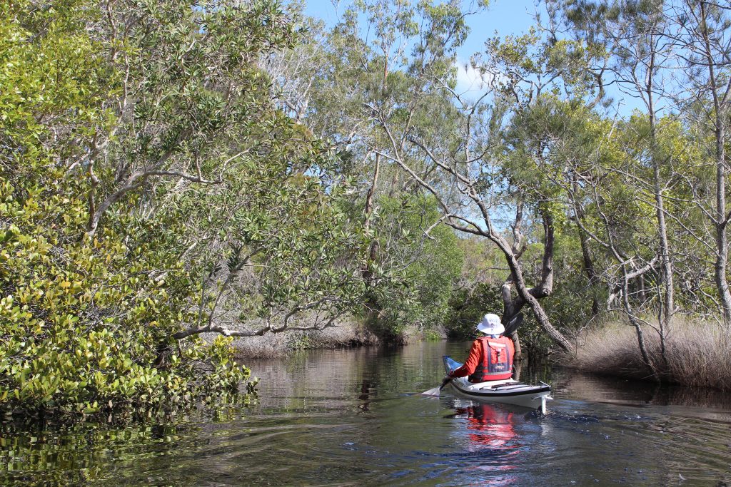
It isn’t possible to have the assistance of the tidal flow all the way unless you are on the water at the bottom of the tide and that is undesirable because the river is very shallow in several places. Therefore, the best approach is to go against the tide on the way to Waterfall Creek and with it on the way back. Paddle to the left after launching to head downstream. Waterfall Creek is 5 kilometres from the start and the fourth creek on the left, bearing in mind that two of the earlier ones have islands in their mouths. Waterfall Creek is not easy to spot from this direction so it is a good idea to stick to the left bank after you pass the third creek. Watch for koalas as you go as they can sometimes be seen sleeping in tall eucalypts in this area. Waterfall Creek takes you inside Broadwater National Park. The waterfall is 350 metres from the Evans River and it runs freely if there has been recent rain. There are also impressive grass trees and interesting fossilised ripples in the rocks near the falls.