Distance: 11 kilometres return
Duration: 3 hours return
Best time to launch: 2 hours before high tide at Evans River – Evans Head Bridge
Start/finish: Evans Head Boat Ramp, Bundjalung Road, Evans Head – GPS: 29°07’24.4″S 153°25’48.5″E.
Parking: On dirt and grass at the edge of the reserve adjacent to the boat ramp.
Toilets: Near the ramp.
Route:
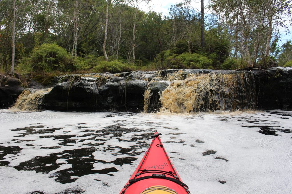
Pelicans, silver gulls, and pied oystercatchers bid you bon voyage as you head left up the Evans River from the boat ramp to commence your journey to Waterfall Creek. There are two islands in the river early in the trip. The deepest water is on their left so that is the recommended path. Beyond the islands, the river narrows considerably and becomes noticeably turbulent for a short time. This is where it passes over the remains of the Iron Gates, a natural ironstone barrier/bridge across the river that was a sacred site for Indigenous people and part of one of their songlines or pathways across the land until it was destroyed by the army in 1914. Prior to that, saltwater was unable to progress any further inland. There are numerous beaches upstream from the Iron Gates where you can stop for a break and a swim. The ones opposite the entrance to Waterfall Creek are inside Bundjalung National Park. Waterfall Creek is the second creek on the right. See suggested route Golf Links Road to Waterfall Creek for more information about Waterfall Creek.