Distance: 15 kilometres one way
Duration: 4 hours one way
Best time to launch: 3 hours after high tide at Richmond River – Bungawalbin Creek Entrance.
Start: Moonem boat ramp, Bungawalbin-Whiporie Road, Bungawalbin – GPS: 29°05’50.2″S 153°12’59.6″E.
Finish: Horse Watering Place, Neileys Lagoon Road, Bungawalbin – GPS: 29°07’41.7″S 153°09’47.3″E. Unless you have a serious four wheel drive vehicle, it is unlikely you will be able to drive right up to the water. Please take extra care on approach and stop before you get stuck.
Parking: On dirt in an informal parking area at the start. On grass beside the track to the water at the finish.
Toilets: Closest are at Coraki boat ramp on Richmond Terrace in Coraki.
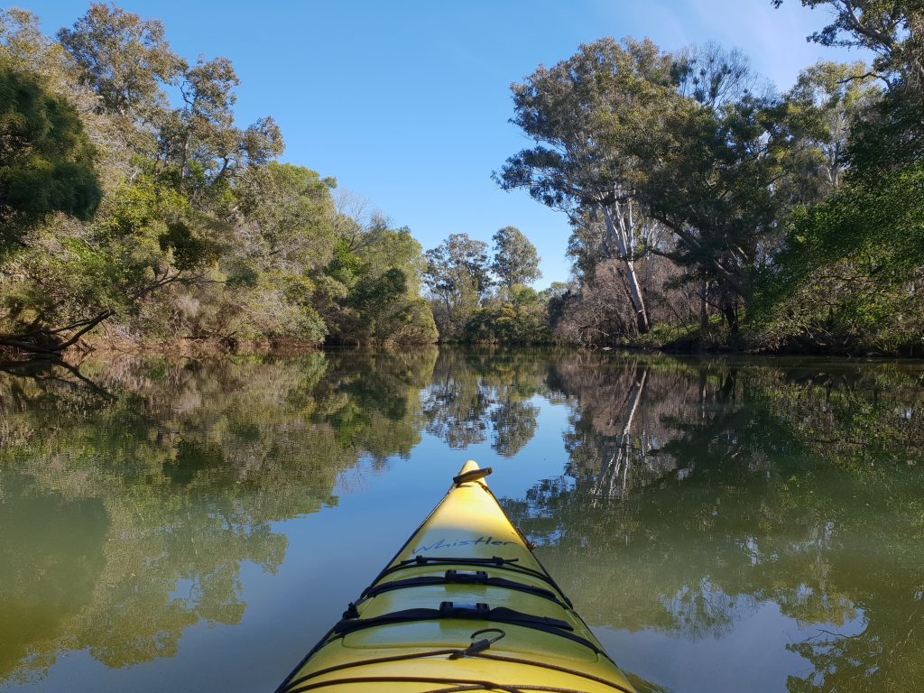
Route:
Some people like winding country roads and others prefer long straight freeways. If you are the country road type, then you will love secluded and peaceful Bungawalbin Creek. The distance between the two access points makes a return trip difficult for most people so a car shuttle is usually required. Paddle to the left after launching to go upstream on Bungawalbin Creek. The initial part of the trip is flanked by Yarringully Nature Reserve on the right and Yarringully State Conservation Area on the left. These protect areas of eucalypt, melaleuca and rainforest species, as well as coastal floodplain wetlands. There are some inlets along the way that might lead you astray but the main flow is usually obvious and all you need to do is follow it all the way to the Horse Watering Place in Bungawalbin National Park. This may not be easy to recognise so it is a good idea to take note of its distinguishing features when you leave a vehicle there before the start.